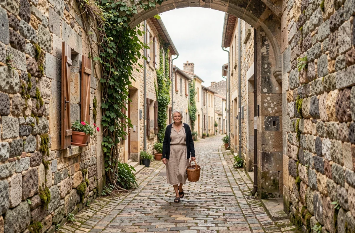
Nozières is a village in the Ardèche Verte, perched at an altitude of around 900 metres on the road to the Col du Buisson. It has a population of about 270, known as the Nozièrois, and stretches across wooded hills where terraced fields and pastures create a landscape typical of the Doux basin. Nicknamed the raspberry capital, the village retains a cluster of historic buildings around its square, the Pèlerin fountain and its church.
Rural paths and historic buildings: a delicate balance in Nozières
The network of trails linking the village to nearby hamlets and sites such as the ruins of Château de Rochebloine is both an agricultural legacy and a tourism asset. These paths, often lined with dry-stone walls, require regular maintenance, which the village carries out with limited resources.
Hiking traffic, which is increasing across the Ardèche Verte, is accelerating erosion on some sections. Repeated footfall on damp granite soil creates ruts that widen in the rain. Clearing vegetation along the paths is essential for keeping trail markers visible and walkers safe.
Historic sites pose another challenge. The remains of Rochebloine, reached by a narrow path overlooking the valley, have no physical protection against rockfalls caused by foot traffic. Practical information and local news are regularly published on nozieres.org, including updates on roadworks and temporary access restrictions on certain trails.
Balancing public access with the preservation of natural habitats calls for practical choices: limiting the number of directional signs to prevent visitor flows from spreading out, using locally sourced materials to resurface paths rather than asphalt, and directing walkers towards less sensitive routes during the breeding season.
Nozières’ architectural heritage: church, castle and wayside crosses
Nozières’ buildings reflect several layers of history. The first known lords, the Dubesset de Valmorda family in the 13th century, were succeeded by the Pagan de Retourtour family, whose fief was raised to a marquisate in the 17th century. Their legacy can still be read in the stonework.
Ruins of Château de Rochebloine
Perched above the Doux valley, Château de Rochebloine is now little more than a collection of ruined walls. In 1725, it belonged to César de Romanet. Vegetation has gradually covered some of the remains, but the surviving walls still hint at the scale of a stronghold overlooking the road between Lamastre and the plateau.
Church and listed wooden Christ
Nozières church, which dates back to the 17th century (some sources mention alterations in the 19th century), houses a wooden Christ listed as a Historic Monument. This polychrome sculpture is the village’s best-protected heritage object.
Wayside crosses, scattered at crossroads and hamlet entrances, complete the picture. They served as landmarks for travellers on the mountain-pass roads and marked parish boundaries. Before 1789, part of the parish of Nozières belonged to Forez, in the Loire department, which explains some cadastral features that are still visible today.
Col du Buisson and Alpine views from Nozières
The local road climbing towards the Col du Buisson, at an altitude of over 900 metres, offers a natural viewpoint over several mountain ranges. On a clear day, the panorama takes in the Alps to the east, Mont Mézenc and Gerbier de Jonc to the south-west, and the Boutières mountains.
The pass overlooks the Doux valley. The river is a defining feature of the area, flowing down towards Lamastre and then Tournon-sur-Rhône, the nearest major town. The Daronne, which runs through the village, feeds a network of wet meadows below.
- The miniature stone village built by a local retiree at the Col du Buisson is a unique piece of folk craftsmanship that hikers discover at the end of the climb.
- The war memorial, erected above the scenic road, commemorates the toll the two world wars took on this small village.
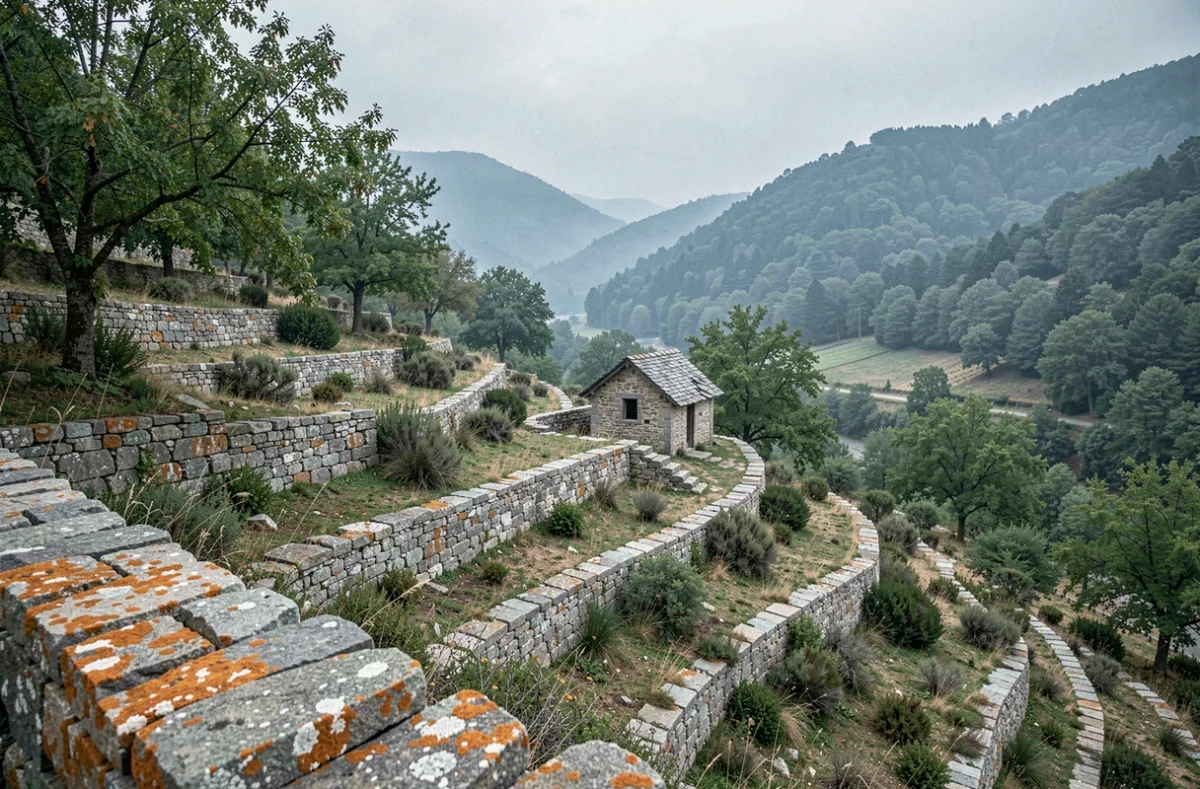
- The agricultural terraces, still cultivated on south-facing slopes, bear witness to a farming system adapted to the steep terrain and mountain climate.
The biodiversity of these habitats—broom-covered heathland, coniferous forests and hay meadows—makes the routes vulnerable to overgrazing and motorised traffic. Motor vehicles are prohibited on most local trails, a rule whose enforcement depends largely on residents’ vigilance.
Nozières and raspberries: the agricultural identity of an Ardèche village
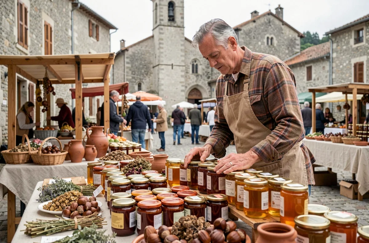
Raspberries have long been at the heart of Nozières’ local economy. The altitude, aspect and acidic soils of the plateau provide favourable conditions for this demanding crop. Sold directly at markets in Lamastre and the surrounding area, the harvest remains a strong part of the Nozièrois identity.
Alongside raspberry growing, farms combine extensive cattle rearing with a variety of crops. The terraced plots, shaped by generations of manual labour, require constant upkeep of their retaining walls. When a terrace is abandoned, a landslide can occur within a few years, cutting off a path or blocking a ditch downstream.
This reality directly links farming, landscape preservation and access for visitors. Without farmers mowing the meadows and repairing the dry-stone walls, hiking trails would become impassable and vegetation would close in on the views. Nozières’ landscape heritage is not a static backdrop; it is the result of daily work on challenging terrain.